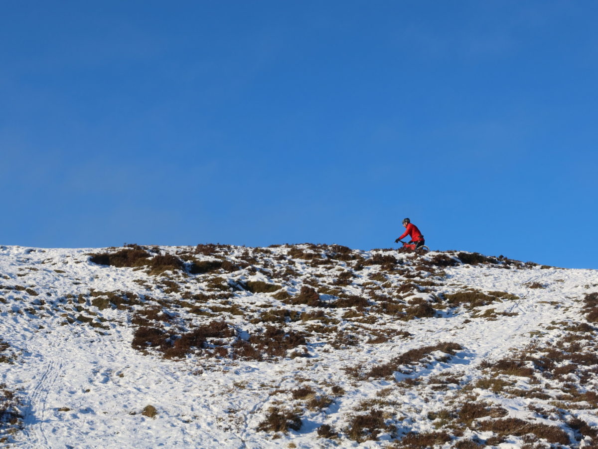
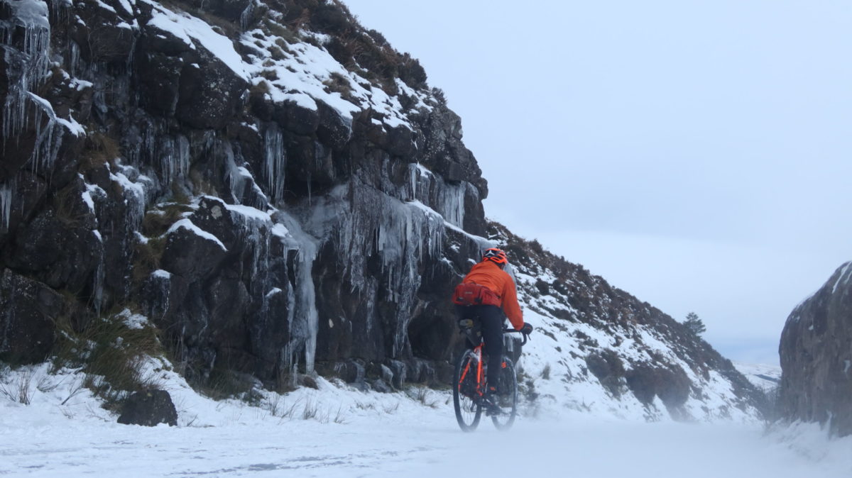
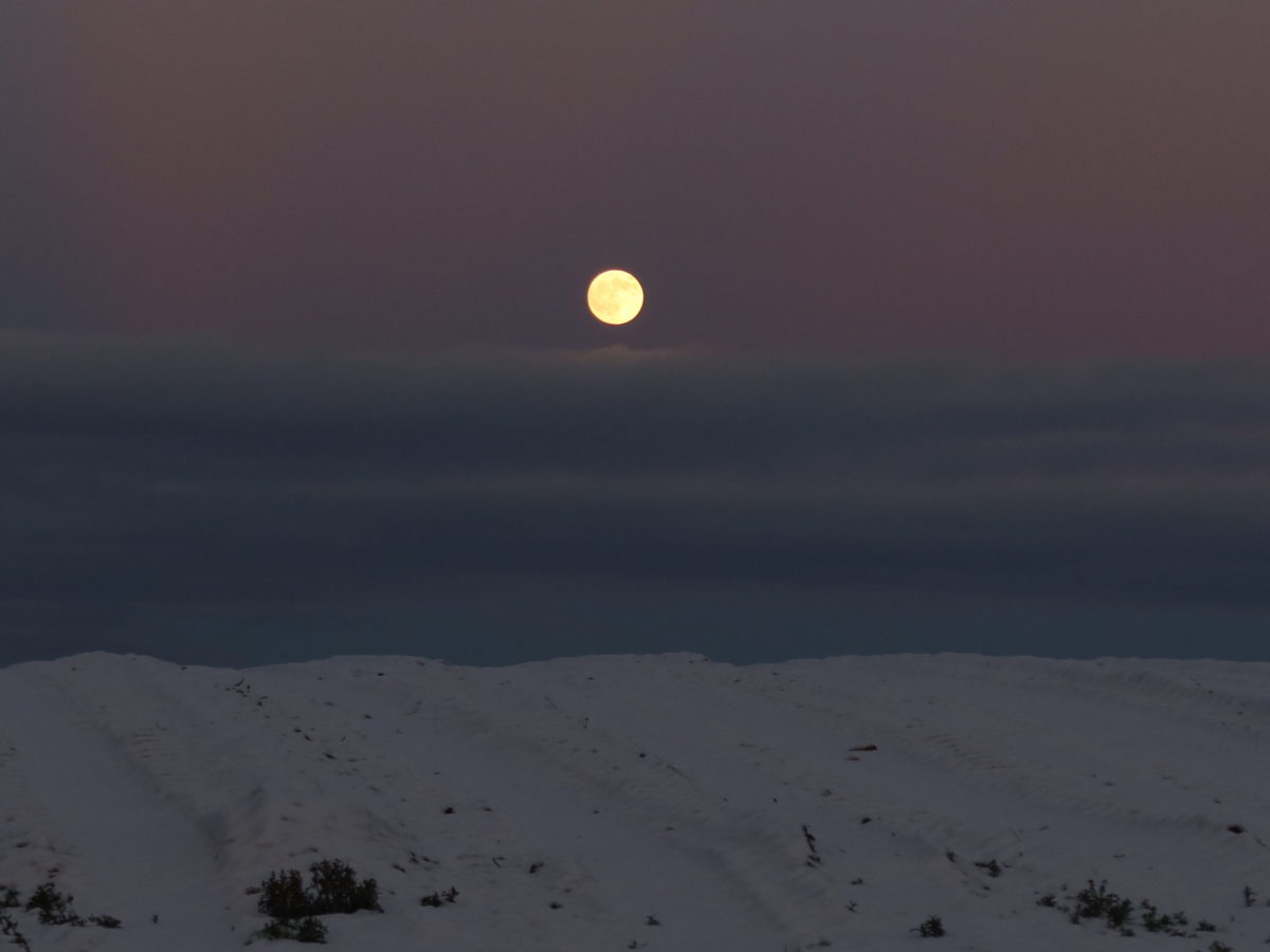
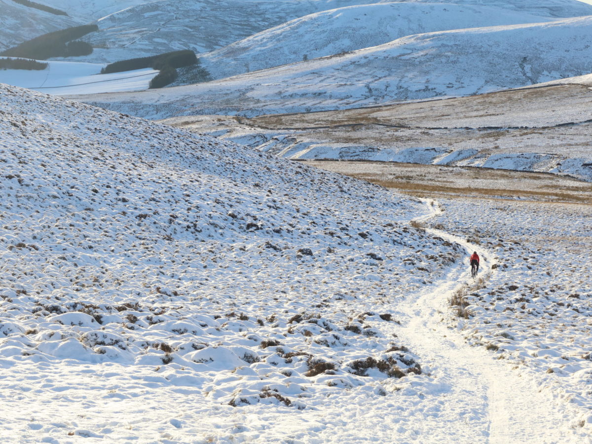
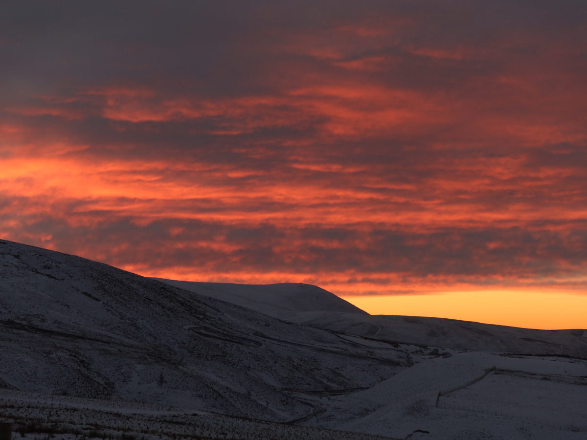
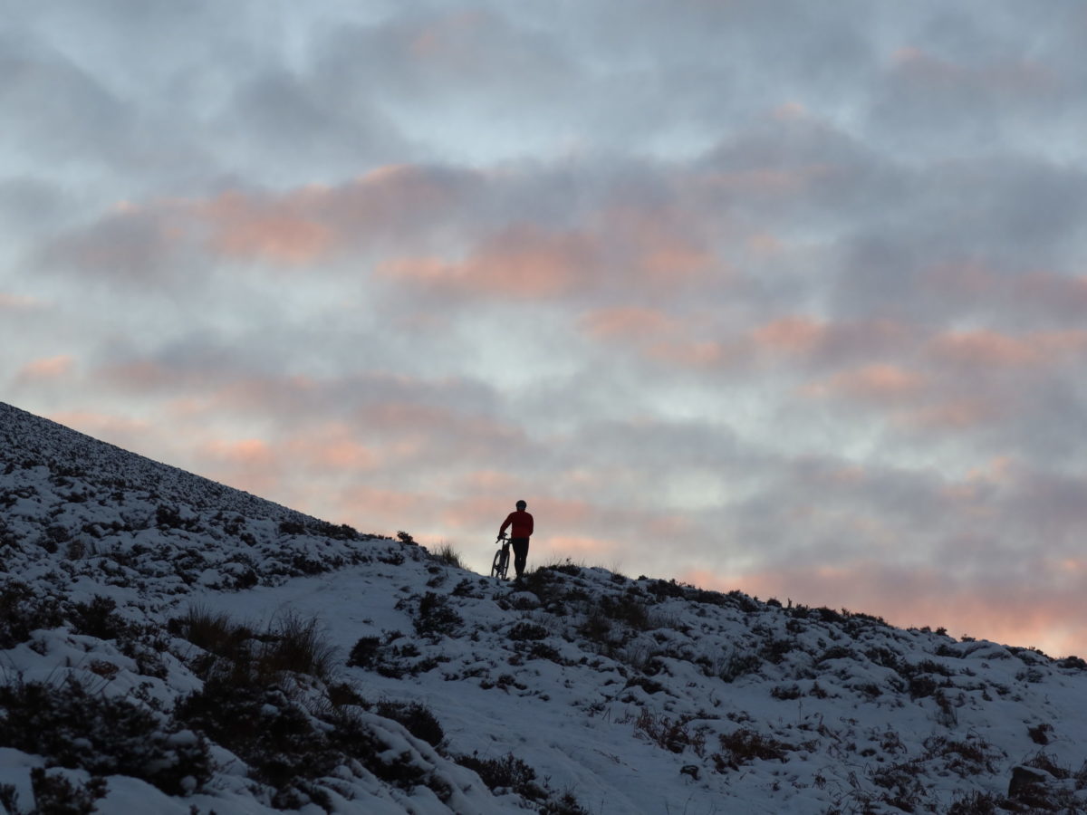
We are pushing up a steep, icy hill. While it’s still possible to find lines through snow and heather to avoid the icy paths, I start to question the likeliness of finishing this ride as planned. Mark and I are about 40 into a 110 km ride, and the most difficult part is still to come. We are already more than halfway within our planned riding time. Looking at the angle of the sun I reckon we have about three hours of daylight left, and three more big hills to push up. It becomes clear that this won’t be the easy ride we had hoped for.
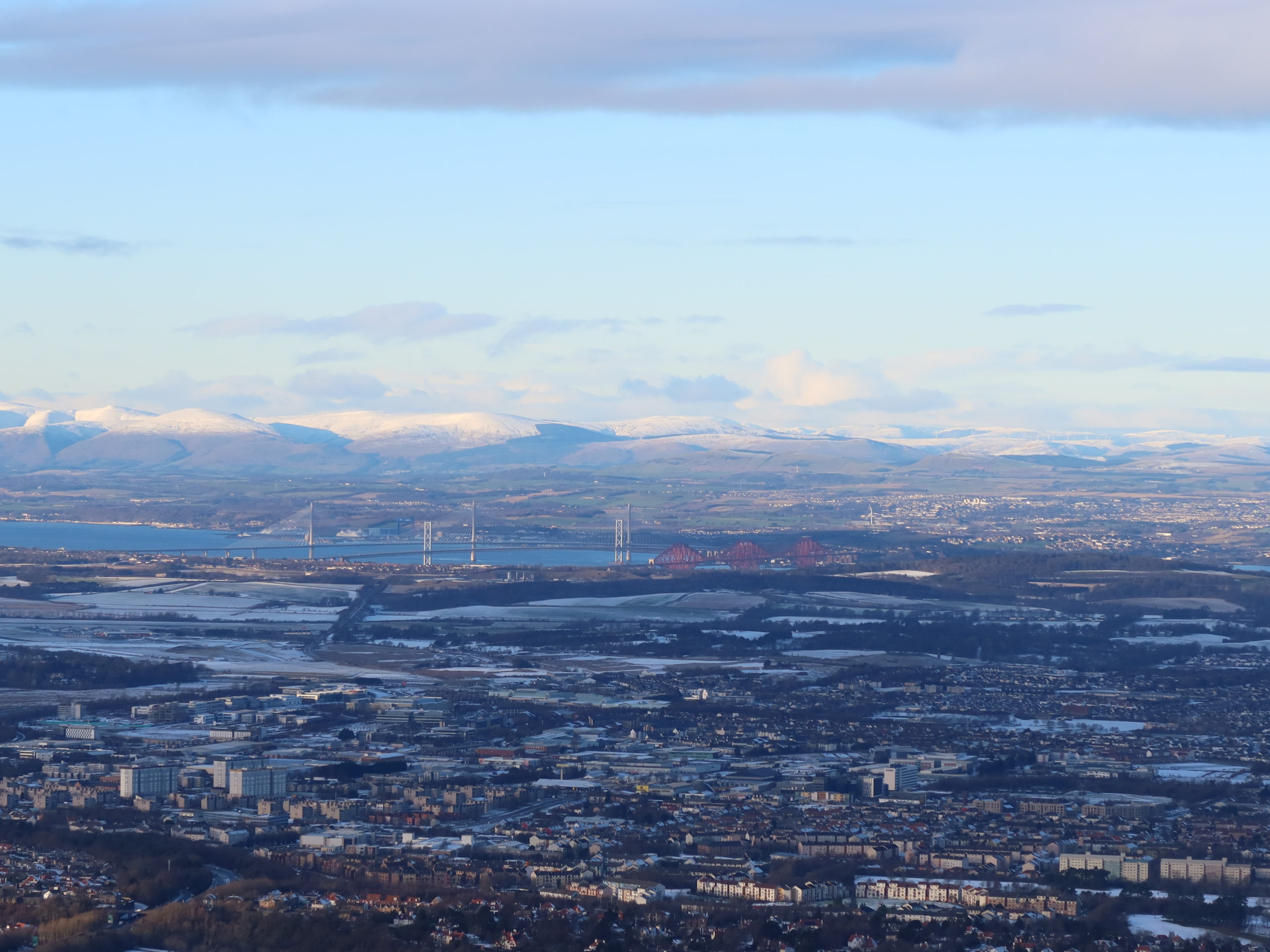
I look up, take a deep breath and focus my view on Mark, who is close to the top already. I try a bit harder and catch him within a few minutes. Suddenly the smile on my face wipes out the doubts. The views from here are stunning. We can see the Forth Bridges in the distance. The most northerly point of our ride on the Firth of Forth looks pretty close from here, but it will take almost six hours to get there. Although later than expected, we finally make it back to our finish at Newhaven lighthouse.
At times lockdowns seem like the big icy hill we were pushing our bikes up. Getting through them on the usual paths is a slippery slope. They need stepping off the tracks, they need focusing and remembering the big picture. Scotland has at times taken a different approach, we had a lockdown in March, and various local restrictions since October, which came close to a full lockdown. Using the analogy, we’ve climbed two big hills already. We don’t know yet when we reach the top of hill number three, and if there are more to come.
When tougher restrictions in Scotland got announced just before Christmas, and a stay at home lockdown in the new year, I had to take a deep breath. I also had to focus, similar as when we pushed our bikes along the periphery of our local authority.
The restrictions in England, Northern Ireland, Scotland and Wales differ. At the time of writing outdoor exercise is still allowed, which includes cycling. In Scotland exercise has to start and finish within the local authority, or up to 5 miles outside the local authority boundary. Currently there is no limit, e.g., the distance travelled on a bike or how many times you can exercise in a day. In Northern Ireland ‘you should not travel more than 10 miles from your home in order to take exercise.’ In Wales ‘exercise should be undertaken locally – from home or as close as possible to the home. In general this should not involve people driving to a location away from home for this purpose. No journeys of any significant distance should be taken, for example, just in order to exercise in the countryside or at beauty spots.’ And in England ‘you can leave your home to exercise. This should be limited to once per day, and you should not travel outside your local area.’ What exactly defines the local area is not detailed, but I have read interpretations which define it as the local village or town.
In Scotland ‘a maximum of two people from up to two households will be able to meet outdoors.’ In Northern Ireland and England, only if you are on your own, you can meet up with one person from another household. And in Wales you ‘must not meet up with anyone you do not live with.’ There are, of course, exemptions, but this would be too much to cover.
Summing the above up, staying local and physically distanced from others is a good choice. The definition of local differs. But instead of detailing restrictions in more detail, here is some more practical advice to help you focus, either by riding your bike or planning routes for the future. Inspiration to help you get up that hill.
For everyone with a UK postcode, the Free Map Tools website is a tool that will allow you to plot a radius around a point on a map. It helps you to understand how far out you are permitted to go. For Scotland, the Scottish Government provides free PDFs of all local authorities here. They become less detailed the bigger the local authority becomes. More useful is the UK Boundary Data, which is available for free here, which contains the GB District Borough Unitary Authorities and Scottish Council Areas. Those areas will give you information about your local ‘boundaries’, but also be helpful if you want to turn those boundaries into a cycling adventure. In the next chapters I’ll try to help you to do that.
If you are not familiar with route planning apps, here are a few tools that help. In order to read the KMZ-File with the GB District Borough Unitary Authorities and Scottish Council Areas, you can download Garmin BaseCamp for free, a planning software for desktops and laptops.
As it only comes with very basic maps, I would also recommend downloading Open Fiets Map too, which is a free map image that will make route planning in BaseCamp much easier. Instructions on what to download are on the Open Fiets Map site. The map image will also be great if you have a GPS device (like the Garmin eTrex20) for your bike.
Then there are various online platforms and apps that make planning routes even easier, and they all work in similar ways. I will focus on Komoot in this article, which you can access through your browser or download as an app. The steps explained here are for browser use.
First you need to create an account with Komoot. Using the website, downloading the app and planning tours does not cost anything. For voice navigation, offline maps, free map updates and to export your tour to your GPS device you need to purchase single regions. The first region is free. If you need more than three additional regions, a world pack is the best option. And in order to access multi-day planner, personal collections, on-tour weather, sport-specific maps and worldwide maps and navigation, you need a premium account, which is billed annually (which is what I use).
Once you have downloaded the KMZ file, Garmin Basecamp, the free map image, and created an account in Komoot, here are the steps to create a boundary adventure, while using the ‘City of Edinburgh’ as an example.
As a first step, open the KMZ file mentioned above in BaseCamp, click on ‘City of Edinburgh’ and export only this as a GPX file (export selected user data in the ‘File’ menu). Locate that GPX file in the destination you specified when exporting it (likely to be your downloads folder) and upload this file to Komoot with ‘Import a GPS File’. Next chose ‘Import to Plan a Route’, select ‘Gravel Riding’, then ‘Import as single-stage Tour’ and then ‘Match route to known ways’. What this means is that Komoot will automatically choose paths suitable for gravel riding close to the line of the uploaded GPS file, as the boundaries are not necessarily on paths or roads. Underneath is a button ‘Review Route’- this allows you to manually adjust the route, while seeing the original route as a red line. While you can always edit the route afterwards too, the red line will disappear once you have saved the route.
Komoot will choose a start and endpoint based on the GPX. In some cases, they were not identical. Shall that be the case, you can drag either start or endpoint to the same location, or select ‘Round Trip’ – the result will be the same. Following the red line as guidance, you can manually change your route by dragging waypoints around or adding new waypoints. For more tips, please check this section on the Komoot website here.
For 21 councils in Central Scotland Mark Beaumont and I have done all the above for you already, by creating a personal collection on each of our profiles with routes that follow the local authority boundaries. Mark’s profile can be found here, mine can be found here. All routes can also be found on bikepackingscotland.com/boundaries.
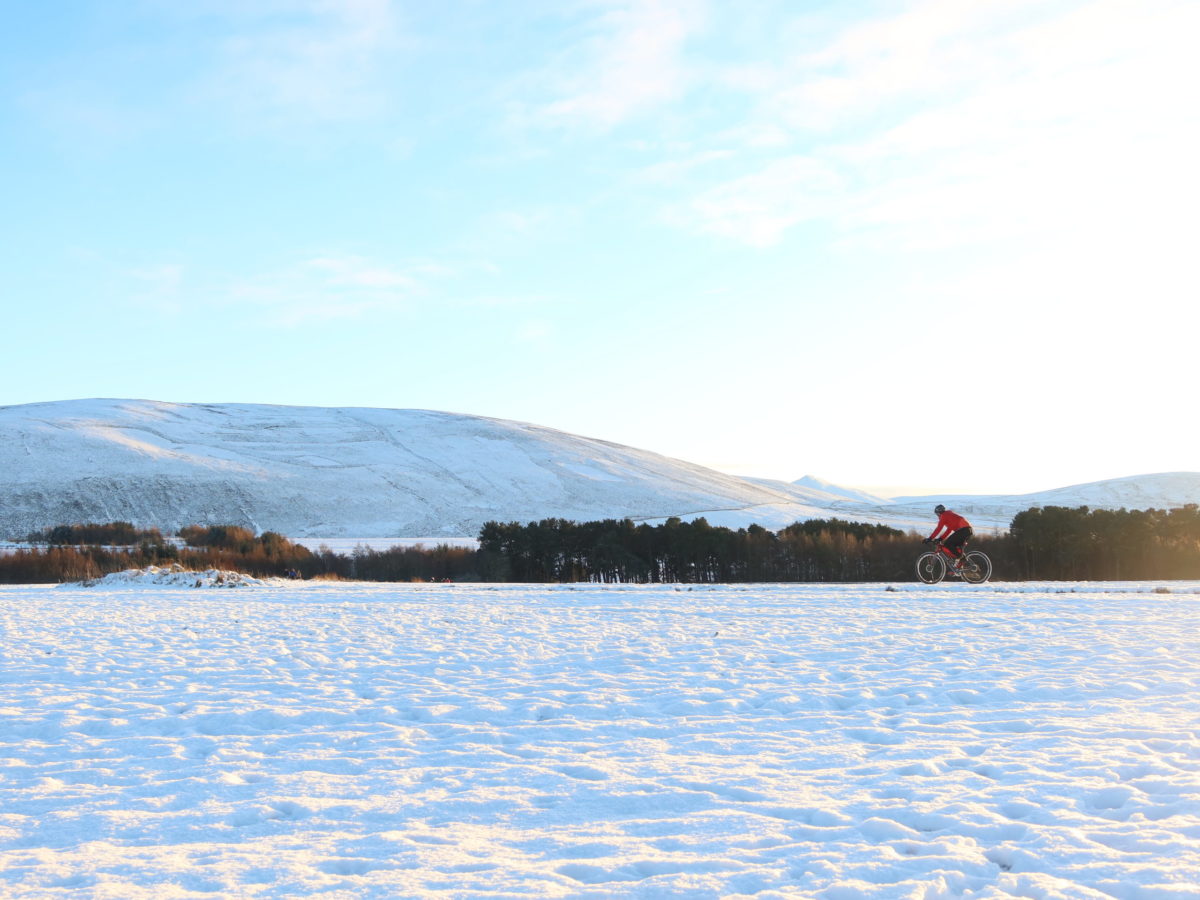
And as we are in the middle of winter at the moment, my general tip is to play it safe. What safe means will depend on your location, weather, cycling ability, equipment, and experience. The most important thing is to have an understanding of your limits (legally and personally), so you know how far you can stretch your adventures without feeling insecure about what you are doing. This takes a while, so don’t expect your first solo ride to be the perfect adventure. It might possibly be a miserable experience. But once you have successfully completed it, there is that small bit of confidence to build on. One big advantage of solo rides is to ride at your own speed.
If I ride on my own into territory I don’t know well, even within my local area, I carry a satellite tracker and at least two navigation devices. One of them is a GPS unit on the bike, the other one my phone, and on longer rides a battery pack too. Most apps have functions to work without mobile signal, so I prepare for that by downloading my routes/maps in advance. I get insurance if needed for peace of mind.
On any ride I take equipment that I can get myself into safety without any assistance. I always check my bike and make sure it is fit to ride. Worn brake pads, for example, are much easier to replace in the warmth of my flat. A down jacket is always a great option, even in the height of summer in Scotland. Plenty of food helps, and extra liquid if water sources are scarce. I carry basic tools like a pump, tire levers, spare tube and patches, multitool and brake pads, and on longer rides I take additional bolts and cables. With such a variety of frame bags and bikepacking bags, there are plenty of solutions to carry stuff.
All the above will not only be helpful for local rides, but also for adventures further afield, once they are realistic again. And if you need more inspiration for Scotland, Bikepacking Scotland and Bikepacking Germany, two sites I am running, will help you with that.